Lage
| Land: | Deutschland |
| Bundesland: | Hessen |
| Bezirk: | Kassel |
| Werra-Meißner-Kreis | |
| Ort: | 37242 Bad Sooden-Allendorf |
| Adresse: | Rathofstraße |
| Geographische Lage: | 51.274245°, 9.974725° |
| Google Maps OpenStreetMap OpenTopoMap Burgenatlas | |
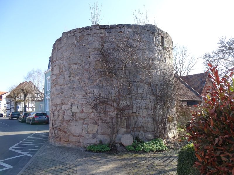
Beschreibung
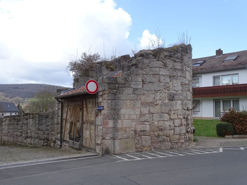
Ansichten