Alternativname(n)
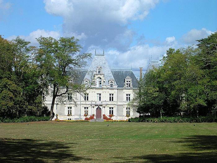
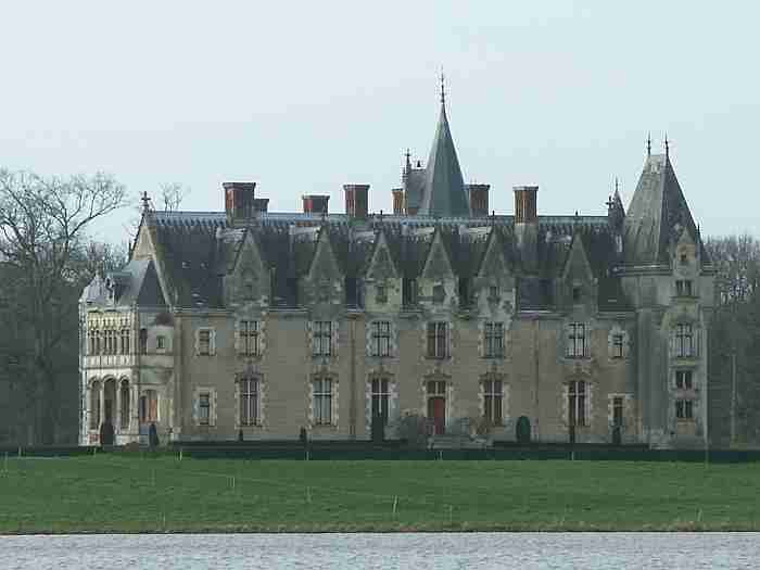
Château de Bel-Air
Lage
| Land: | Frankreich | |
| Administrative Region: | Pays de la Loire | |
| Départment: | Loire-Atlantique | |
| Arrondissement: | Nanterre | |
| Ort: | 44470 Carquefou | |
| Geographische Lage: | 47.269443°, -1.487787° | |
| Google Maps OpenStreetMap OpenTopoMap Burgenatlas | ||
Beschreibung
Ansichten
Objekte im Umkreis von 5 Kilometern
Quellen und Literatur
| Archiv «Alle Burgen» |


